Field data you can defend.

We collect the environmental data that decisions get made on. Groundwater and surface water monitoring, aerial and satellite surveys, and the digital systems that carry it all. Captured without paper, checked before it reaches you, and handed back ready to defend.

0%Digital field capture, no paper forms
0Core data and monitoring services
0-stepQA/QC workflow on every dataset
SACAALicensed drone pilots on every flight
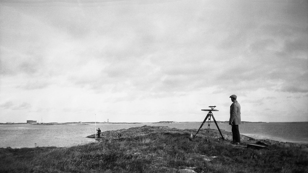
Field technician with surveying equipment on a grassy hill overlooking water
Founded on fieldwork. Built by people who have done the walking, not just the reporting.
About Cartesia

The field team environmental professionals rely on

A report is only as good as the data behind it. Water protection, rehabilitation and land management all rest on someone measuring the right thing properly, and that is the part we do. Whether you need a whole monitoring programme run for you or trained monitors inside your own team, the fieldwork should be the part you never have to worry about.

  • We come from the field. Hydrocensus surveys, borehole censuses, groundwater and contamination work across Gauteng and further afield.
  • Every reading is captured digitally, tied to a coordinate, and checked against QA/QC protocols before it reaches you. No printed field sheets, no retyping, no transcription errors.
  • We monitor from above where we sensibly can. Satellite and drone work means fewer vehicles on farm roads and rehabilitated ground, and less disturbance to the land you are trying to protect.
  • What you get back is ready to use: clean datasets, maps, and a field summary that answers the questions your reviewer will ask.
What We Do

Core Monitoring & Data Services

Five things we do properly, from the first site visit to the dataset that lands in your report. Water on the ground, imagery from above, and the digital pipeline that keeps both clean.

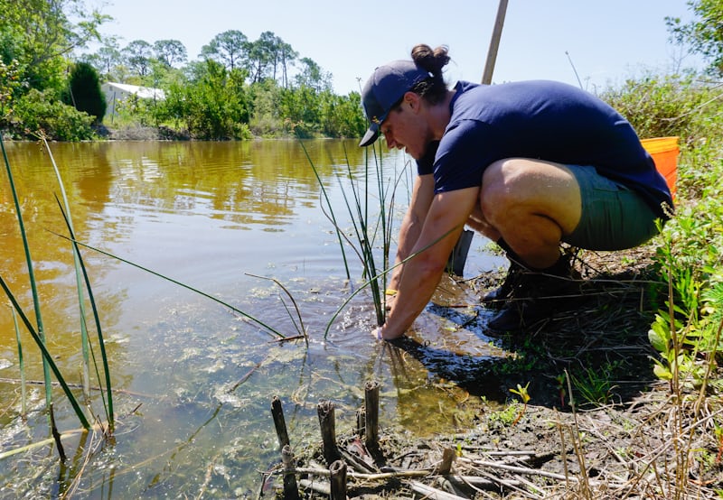
Field technician crouching to collect a water sample

Groundwater & Surface Water Monitoring

Hydrocensus and borehole census surveys, water levels, in-situ quality readings, and the scheduled rounds your licence conditions call for. This is the record that shows whether an aquifer is holding up or being drawn down, so we treat it accordingly.

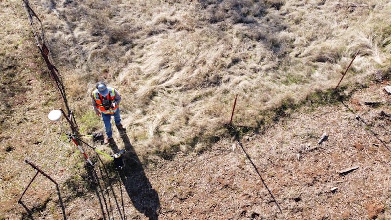
Data collector with GPS equipment on open veld

Digital Field Data Collection

We build the mobile forms (Survey123, Field Maps, KoboToolbox) so paper never enters the picture. Inputs are validated as they are typed, every record carries a GPS fix, and the data syncs to your team while the crew is still on site. Nothing gets printed, couriered or retyped.

Field worker walking a dirt road between monitoring points

Sampling Logistics & Chain of Custody

Collection, labelling, preservation and courier coordination to SANAS-accredited laboratories, with chain-of-custody paperwork that holds up when someone questions the result. Sampling runs are planned to cover as many points per trip as the holding times allow.

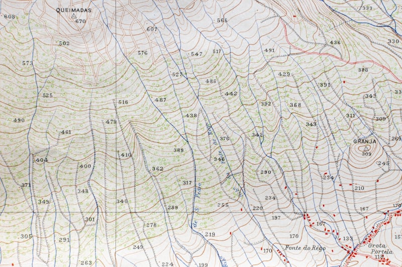
Topographic map with contour lines

Mapping & Reporting Deliverables

Results come back as GIS-ready layers, monitoring maps and short field reports, formatted to drop straight into your project documentation without reworking.

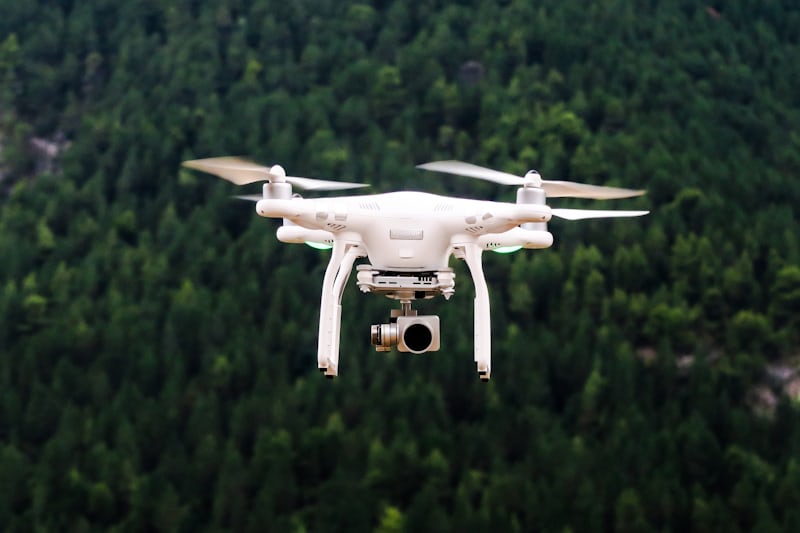
Drone flying over open farmland at low altitude

Remote Sensing & Drone Surveys

Aerial and satellite mapping for the things that are quicker to see from above. Drone photogrammetry for topographic surveys, contours, stockpile volumes and rehabilitation progress. Satellite vegetation indices such as NDVI for farms and rehabilitated land, so you can see crop stress, irrigation problems and bare patches before they show up on a walkthrough. All flights are flown by SACAA-licensed RPAS pilots.

Field Teams

Need people, not just data? We place field teams too.

On longer programmes, or where you would rather run things yourself, we supply trained field monitors and data collectors who work under your direction. They arrive inducted, equipped, and already comfortable with digital capture.

Trained and inductedHealth and safety inductions, site protocols, environmental awareness and instrument handling are all sorted before day one.
Digitally equippedMonitors arrive with capture forms already built for your project, so data reaches you daily rather than at the end of the campaign.
Flexible placementOne monitoring round, a seasonal campaign, or someone embedded in your team for the life of the project.
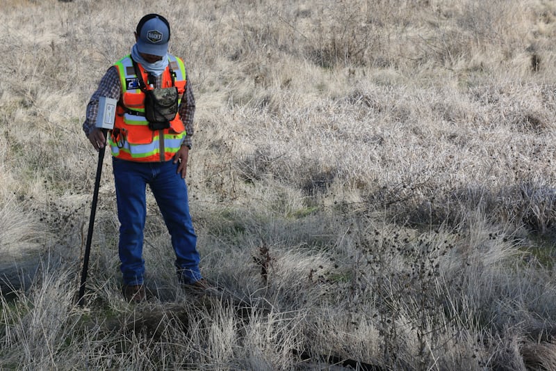
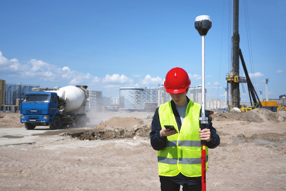
Field monitor in hard hat and high-visibility gear holding a survey rod
Who We Serve

Built for teams that carry compliance responsibility

Environmental Consultancies

Fieldwork you can subcontract without worrying, so your scientists stay on analysis.

Mines & Waste Facilities

Scheduled groundwater and leachate rounds, plus aerial surveys of rehabilitation progress.

Municipalities & Utilities

Hydrocensus surveys, infrastructure condition data and monitoring network audits.

Construction & Developers

Water use licence monitoring and site topographic surveys through the build phases.

Farms & Agribusiness

Vegetation indices, irrigation checks and topographic surveys from the air.

How We Work

From site to spreadsheet, without the gaps

Scope

We agree the monitoring points, parameters, frequency and the format you want it all back in.

Mobilise

Forms built, instruments calibrated, inductions done, site access arranged.

Collect

Digital capture in the field, every record GPS-tagged and photographed.

QA/QC

We check every record for range, duplicates, coordinates and gaps before it leaves us.

Deliver

Clean datasets, maps and a field summary, ready to go into your report.

Get Started

Request a Quote

Tell us where the site is, what needs measuring and how often. We will come back with a scoped proposal rather than a vague rate card.

Prefer email?
info@cartesiasa.com

Thank you — your request has been sent.
We will come back to you at the email address you gave us, usually within one working day.
That did not go through.
Please email us directly at info@cartesiasa.com and we will pick it up straight away.

We use your details only to respond to this enquiry. Submissions are handled by Localid IQ (Pty) Ltd t/a Cartesia.